01 Aug Water Trees La Gavia
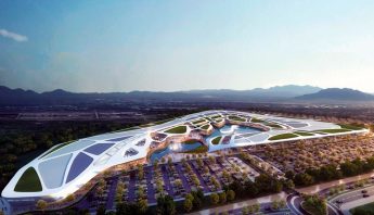
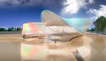
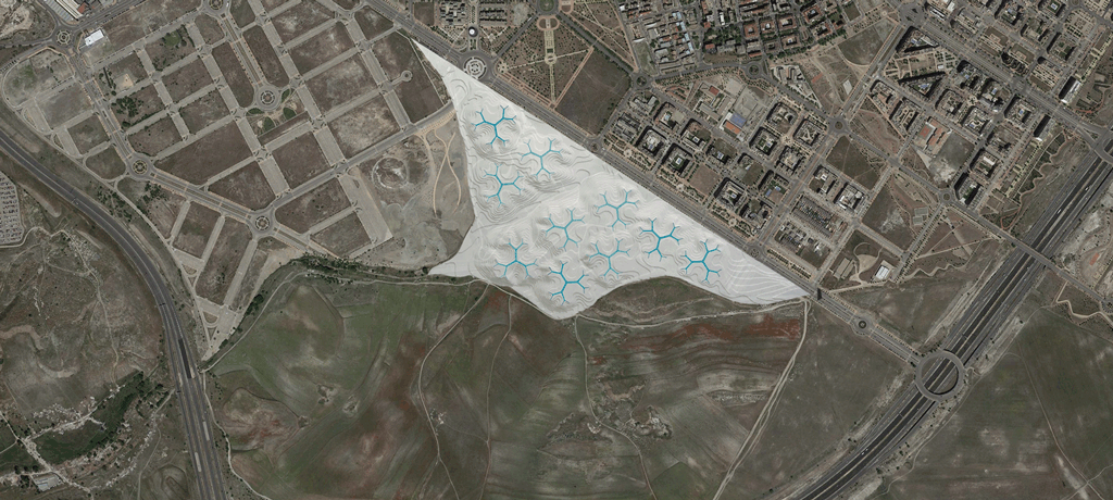
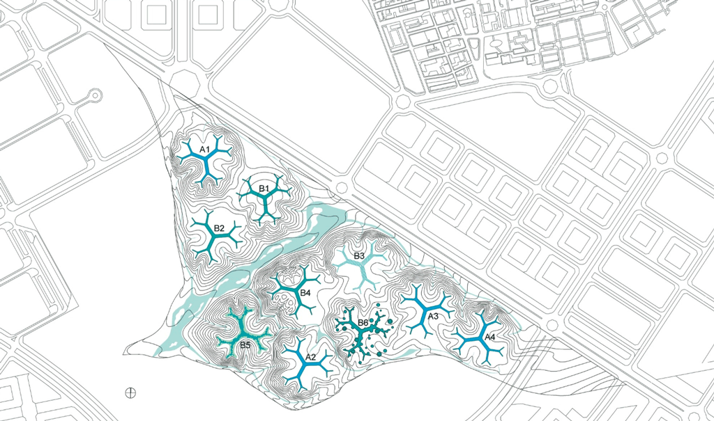
Executive design for the Gavia Park in Madrid (considered a mayor equipment towards the Olimpic Games Madrid 2016) for Gazapo/Lapayese and Toyo Ito Associates. This is an approach to a deeply sustainable, open-air environment, including sewage water depuration systems and several professional sport facilities. The park is organized around 10 natural infrastructures, called “water trees”, which not only constitute nice and user-friendly environments, but also the source for the naturalization and recovery of the natural habitat beneath them. The trees host a water lane that naturally filtrates water and provide an unique landscaping experience.
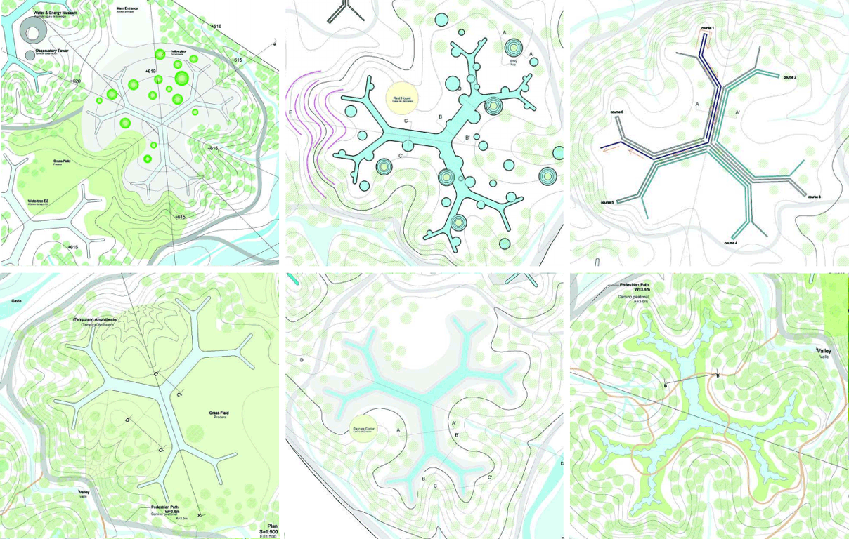
The main tree typologies are as follows:
B1 – Located in the main access of the park, it spreads over a “spherical cap” with a surface composed of hard materials, (stone, bricks, ceramic tile, etc.) dotted with green hollows. The active flow of water emphasizes its character as meeting point that receives and disperses visitors.
B2 – Located on the top of a hill, it is silently and quietly approached through a paved path built in a natural way, thus creating a background formed by gravel and pebbles that emerge out of the water, creating an illusion of diffuse limit. The ornamental cherry trees planted around make evident seasonal changes throughout the year by coloring the water tree’s surroundings.
B3 – This tree is characterized by the water flow that divides circulation into several channeled linearities varying in depth. These are also represented in the section of the tree itself, as it adapts to the water stream. The different water courses defined by stunning stone blocks highlight the contrast with the vertical trunks of the forest trees.
B4 – A purely geometric shaped tree, it reflects the sky like a mirror. The access is performed through a path that crosses the Gavia and suddenly emerges surrounded by grass meadows.
B5 – It is characterized by the formation of the ground and river banks using natural materials, (clays, boulders, sands, etc.) forming an irregular edge by riparian vegetation (reeds, etc). The organic form of its limits aims to preserve a natural ecosystem as an ideal habitat for birds, insects, aquatic animals and plants alike.
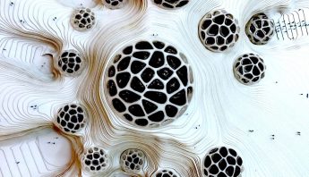
B6 – It is located at the highest point to provide for optimized panoramic views. It is shaped according to an agglomeration of circular ponds that blur its concentric appearance and overall circular layout. These ponds define relaxation areas for visitors (circular water flows, natural sounds constructions, follies, etc.) splashing drops of water during the summer season.



No Comments